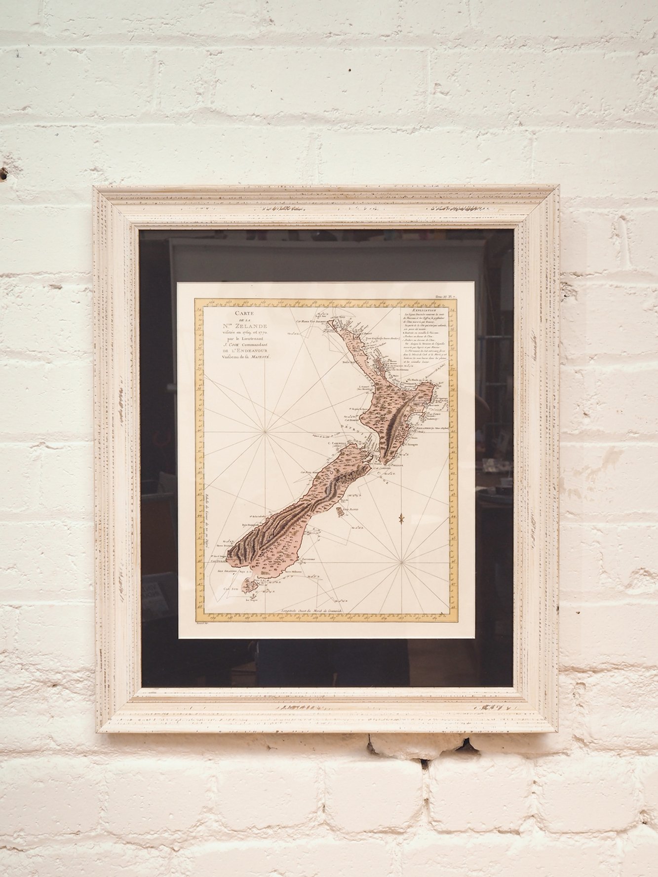
French Vintage Map of New Zealand
$360.00
French Vintage Map of New Zealand:
W: 19,5 cm / 7,6 inch H: 24 cm / 9,4 inch
Map of the island. New Zealand visited in 1769 and 1770 by Lieutenant J. Cook Commander of the Endeavor,
His Majesty’s vessel “Copperplate map, with added color. From John Hawkesworth’s Travel
relationship undertaken by order of His Britannic Majesty. . . (Paris, 1774).
French copy of Cook’s foundation map of New Zealand, showing the track of the Endeavor around both islands, from October 6, 1769,
to April 1, 1770. [Historic Maps Collection]
Out of Stock
Out of stock




Reviews
There are no reviews yet.